The Glenkens Rectified Estate Mapping and Land Information Network (‘GREMLIN’) project has interpreted 44 estate maps from the 1800s, using the contents to measure and classify land use in the Glenkens 200 years ago. These maps and the land use details from them can now be interactively searched on the National Library of Scotland Mapping website, in what is a ‘first’ for historic mapping efforts in the country.
This has been a partnership project between the Dumfries Archival Mapping Project, the Galloway Glens Scheme and the National Library of Scotland. The project has been supported by a range of other partners, including the Galloway & Southern Ayrshire UNESCO Biosphere.
The maps in question, primarily focussed on the Forbes maps from the Earlstoun Estate in the 1800s, have been analysed designated according to a whole range of land use types – from woodland to wetland, to open water. The maps can now be interrogated to reveal how this has changed, compared to data from the previous maps and the current satellite image.
This has a whole range of applications – from personal interest through to informing today’s land use debate.
The headings are approximate, but the following headline points can be identified in the maps covered.
- Trees & Woodland cover increased from 2% in 1800s to 42% in 2000s.
- Agriculture and open moorland area reduced from 89% in 1800s to 56% in 2000s.
- There was also a significant expansion of arable land between the 1800s and the 2000s, and a significant decline in meadow land.
At a more localised level of fields and farms, the map viewers allow these changes over time to be viewed in detail for each land parcel. It is also possible to view land use at other dates too over time, on both Ordnance Survey mapping from the 1860s, 1900s, and 1960s, and Land Utilisation Survey mapping from the 1930s.
The maps and the data captured have been published on the National Library of Scotland Mapping website: https://maps.nls.uk/projects/gremlin/
Chris Fleet, Map Curator at the National Library of Scotland, said:
“We are extremely grateful to the Galloway Glens Landscape Partnership and the Dumfries Archival Mapping Project for supporting this project. We love working with old maps and doing more with them, especially as part of wider collaborative projects. The National Lottery Heritage Funding allowed us to work with these estate maps in new ways, extracting land use information from them, and presenting this online to reach wider audiences. By combining this new information from the estate maps with other map and satellite image layers, we can now inspect the landscape and its changes over the last two centuries on a field-by-field basis. We hope others will enjoy the results as much as we have enjoyed the project.”
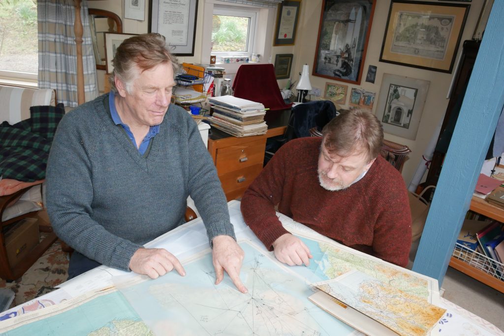
Archie McConnel from Dumfries Archival Mapping Project added:
“Although Project GREMLIN is historically just good fun it also serves a further purpose. Humans have always modified the landscape in some way and the landscape that we can see in these maps shows the strong cultural continuity of the pastural landscape. By giving us a glimpse of an ecological and environmental baseline of 200 years ago we can see that the area has never been a wasteland but has been split into a range of very different habitats. Many of these habitats no longer exist due to changes in agricultural practices and the move into forestry. It is hoped that as we make these changes GREMLIN will perhaps, in a small way, encourage a more thoughtful process.”
Galloway Glens Project Officer, Nick Chisholm, said:
“DAMP continually innovates. This is very apt as the cartographers of the late 18th and early 19th century were invocators of their day. What would they think if they knew we were still using their maps to unlock the secrets of our landscape and to create resources for today’s land managers. Well done DAMP and to the National Library of Scotland! You have created an amazing resource.”
The Galloway Glens Scheme is a 5-year project based in the Stewartry region of Dumfries and Galloway. An initiative of Dumfries & Galloway Council’s Environment Team, it is funded by a range of partners including the National Lottery Heritage Fund. The Galloway Glens Scheme aims to connect people to their heritage and to support modern rural communities. www.gallowayglens.org.
One partner. No competitors. Full visibility across the region.