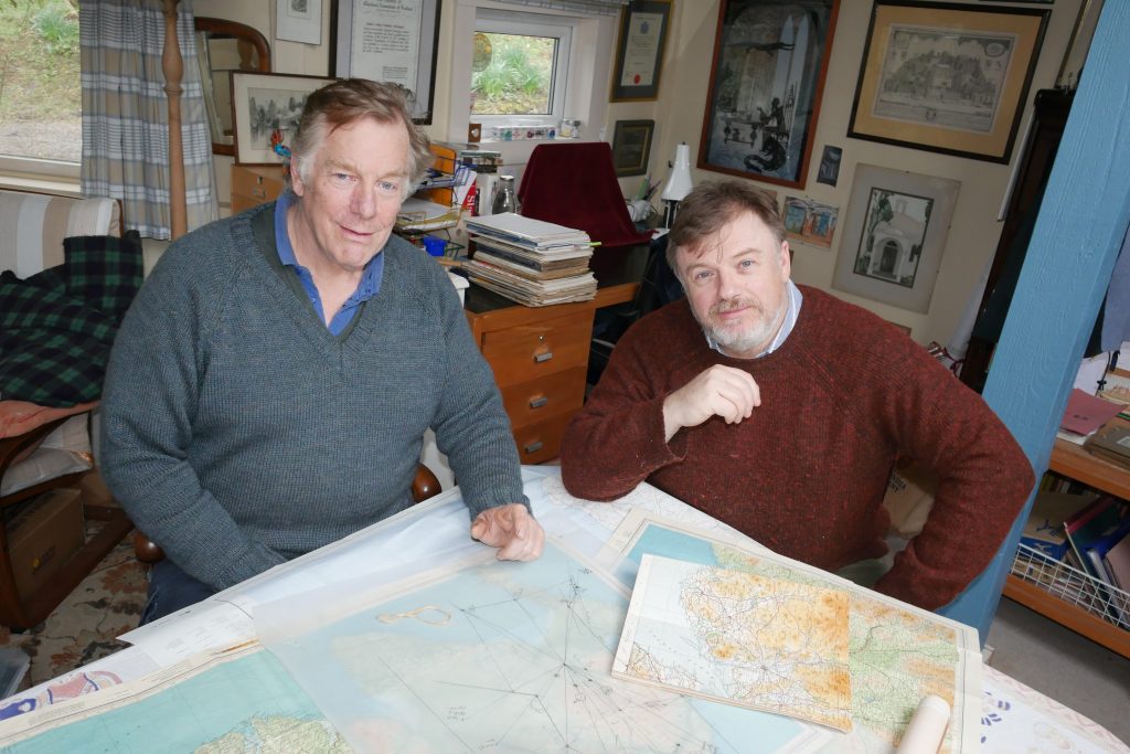
The Glenkens Rectified Estate Mapping and Land Information Network (‘GREMLIN’) project is getting underway to analyse pre-ordnance survey maps, categorising land use and tracking the change in habitats and landscape over time. Upon completion, around 40 maps covering a large chunk of the Glenkens from 1799-1815 will be available for all to review on the superb National Library of Scotland Estate Maps website.
This is a partnership project between the Dumfries Archival Mapping Project, the Galloway Glens Scheme and the National Library of Scotland. The project has been discussed with a range of other partners, including the Galloway & Southern Ayrshire UNESCO Biosphere.
The maps in question, primarily focussed on the Forbes maps from the Earlstoun Estate in the 1800s, will be closely analysed with content categorised between habitats and land use types. The public will then be able to interrogate these data sets and map change from the past to inform decisions for the future. For example, we know that almost all areas of species rich hay meadow have been lost, if we wish to restore it, it may be easier to do where it once existed! The same could be said of wetlands, woodlands, or almost any habitat type that has been damaged or changed in the last few hundred years.
This is the first-time historic Estate maps have been subjected to this level of scrutiny and as such is a pilot project. Galloway Glens Project Officer, Nick Chisholm, said:
“In the 18th century, earnest men were scurrying around with lengths of chain, posts and, at the time, cutting edge optical instruments. I wonder what they would have thought if we said their maps still had huge value a few centuries later? They would probably have been confused by the concept of GIS but surely these early cartographers were also early GIS pioneers. The value of lifting their hard work into modern digital media that can be shared and used by all is an invaluable tool for land managers and conservationists. If it wasn’t for the work of groups like DAMP and the NLS this would all have been lost!”
Archie McConnel from Dumfries Archival Mapping Project added:
“This should be a fun project and should enable people to see at a glance the type of landscape that there used to be. Land use is an increasingly important topic and seeing how a varied approach worked in previous times should give us pointers as to how we can perhaps behave in current circumstances. It is to be hoped that all goes smoothly with Project GREMLIN!”
It is expected that work will be complete by July 2023. The maps and the data captured will be published under ‘Estate Maps’ on the National Library of Scotland Mapping website: https://maps.nls.uk/.
Chris Fleet, Map Curator at the National Library of Scotland, said:
We are very excited by this project, which will build on several years of our happy collaboration with DAMP and their work to make these important local estate maps available to wider audiences. The first phase of georeferencing these estate maps will allow them to easily be compared to later and modern-day maps in accessible and engaging online viewers. The second phase of gathering land-use information from them will unlock their riches further, allowing the different patterns of former land-use to be visualised, enjoyed, and compared to the present day.”
The Galloway Glens Scheme is a 5-year project based in the Stewartry region of Dumfries and Galloway. An initiative of Dumfries & Galloway Council’s Environment Team, it is funded by a range of partners including the National Lottery Heritage Fund. The Galloway Glens Scheme aims to connect people to their heritage and to support modern rural communities. www.gallowayglens.org.


