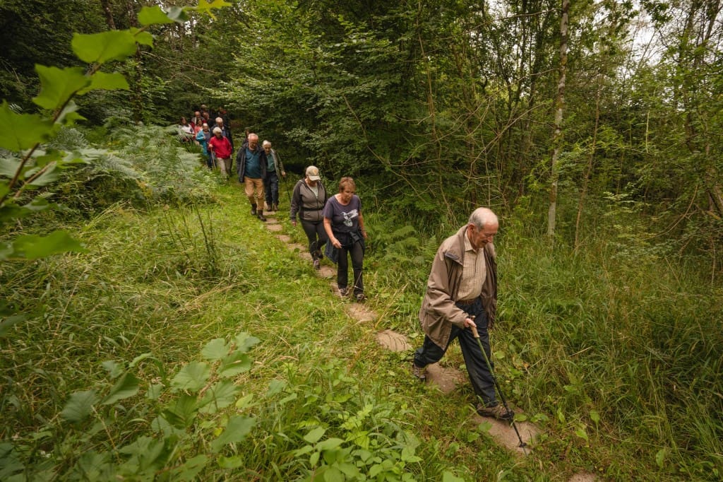
Last week, a ribbon-cutting ceremony was held to launch the ‘New Galloway Link Path’, giving pedestrians off-road access from New Galloway to Galloway Forest Park’s network of paths.
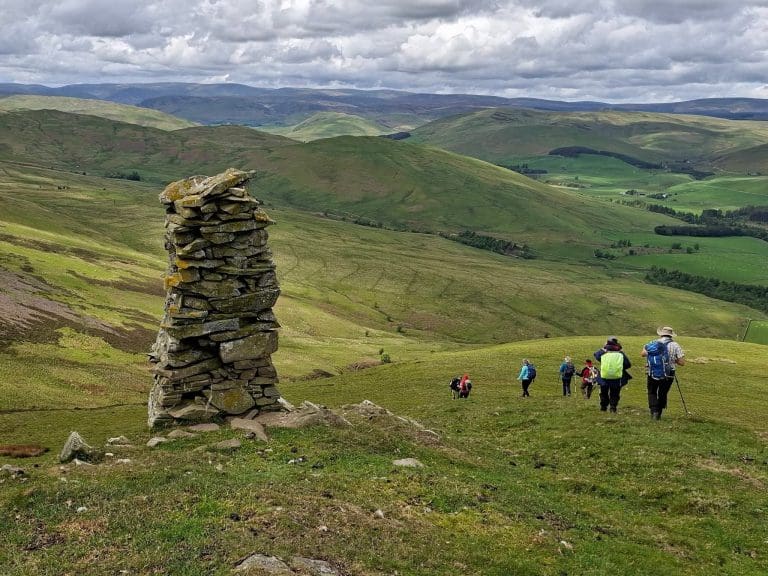
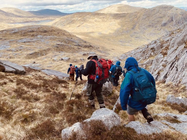
The new section of path, about a mile in length, runs from the Cairn Edward forest road at Strachan to the existing network of paths in the New Galloway Golf Club woods, allowing users to travel off-road and boasts marvellous views over Loch Ken and into Galloway Forest Park. Before the route was opened, walkers had to negotiate the A762, with limited visibility and fast traffic.
The need for the project was identified by the local community, particularly Gerry Cinderby and the Local Initiative in New Galloway (LiNG) volunteers. Over recent years, the idea has been worked up into a detailed proposal by the Galloway Glens Scheme, with the backing of the Council’s Environment Team. Now, with the generous support of the Gordon Family as landowners and the assistance of the Dumfries & Galloway Outdoor Access Trust, the new route has been launched and is open for access.
The project cost more than £30,000 in total, funded by the Galloway Glens Scheme’s National Lottery Heritage Funding, matched to contributions from the Council’s Environment Team, the Dumfries & Galloway Region Wide Community Fund and a contribution from LiNG.
The path route completes a missing path link between New Galloway and the path network in the Forest Park to the South. The work undertaken includes creation of new lengths of path, upgrade of existing paths, and a new footbridge over Knocknairling Burn. The Bridge over Knocknairling Burn has been named Kirsten’s Bridge in memory of landowner Jamie Gordon’s late mother who loved to walk by the burn.
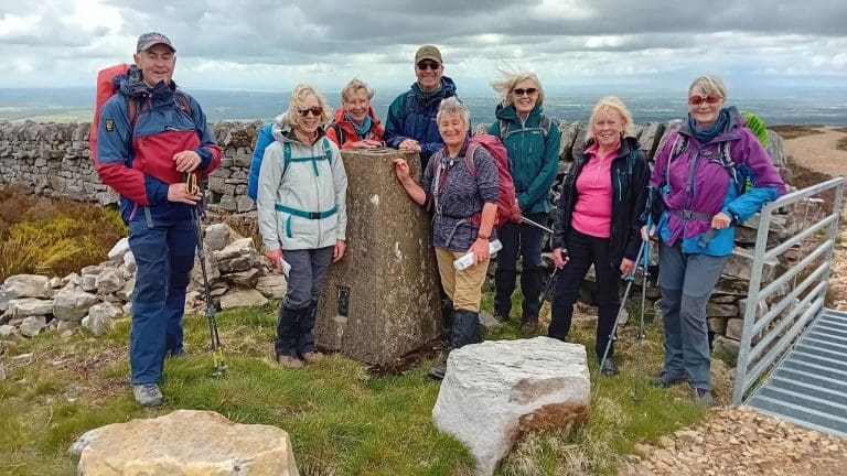
The Launch event was attended by Gerry Cindery and a selection of LiNG volunteers, Jamie Gordon, owner of the land, Marina McClymont, Captain of New Galloway Golf Club, Peter Ross, Chairman of Dumfries & Galloway Outdoor Access Trust and Andrew Tait, from the Galloway & Southern Ayrshire UNESCO Biosphere.
Gerry Cinderby, New Galloway Resident and LiNG volunteer, who identified the opportunity for the project initially, said:
“This path will be of great benefit to local walkers and to visitors. It will give safe access to areas of old woodland as well the network of paths in the Forest Park and could form part of an ambition to develop a long-distance path from Carsphairn to Kirkcudbright. Our grateful thanks to all the funders of this project and to the landowner who generously supported this idea”.
Jonathan Barrett, the Galloway Glens Land Management & Access Officer leading on project delivery, said:
“The New Galloway Link path completes a missing link in the path network between New Galloway and the forest park path network to the south. This much anticipated link provides the local community and visitors alike with safe off-road access between the golf course woods and the Cairn Edward forest road giving access to paths connecting with Loch Stroan and the iconic Raiders Road. We are so grateful for the funding from the National Lottery Heritage Fund, with support from partners including the Council’s Environment Team, the Dumfries & Galloway Outdoor Access Trust and the UNESCO Biosphere.”
Peter Ross, Chairman of the Dumfries & Galloway Outdoor Access Trust, supporting the work, said:
I am delighted to see this path being constructed at the instigation of local community activists. Outdoor activity provides many individual and community benefits. Dumfries & Galloway Outdoor Access Trust is pleased to have helped in this shared endeavour to provide the community of New Galloway somewhere peaceful to enjoy their surrounding countryside.
The route is already in use with one social media user saying:
“Fab route to the forest, now run and walked a number of times. Thank you for making this happen and also to the land owners for allowing this to happen.”
The Galloway Glens Scheme hopes to install final interpretational materials shortly, with mapping and further info to follow. Any queries or comments on the project are welcomed to [email protected].
Did you know: You can see the full network of the region’s Core Paths on the Council’s map viewer, here: https://info.dumgal.gov.uk/mapviewers/pathsmap.aspx.
The Out & About section in Dumfries & Galloway is headlined by Gretna Green
A Place to Escape From it All – Scotland’s most romantic destination since 1754
Discover Gretna Green