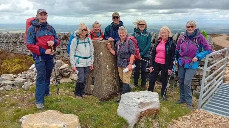
As Spring takes hold and we look forward to Summer, there are a range of outdoor access improvements and opportunities across the region ready for use in 2019.
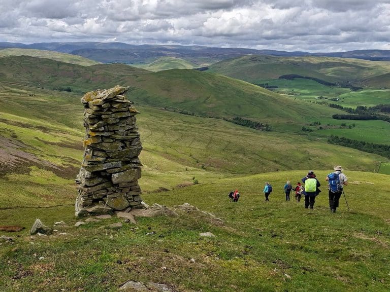
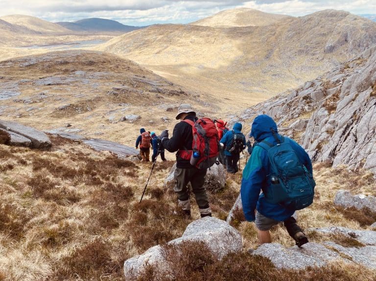
Dumfries & Galloway already has an enviable offering for people keen to experience the great outdoors, hosting more than 1900km of Core Paths and 3 of Scotland’s Great Trails: The Southern Upland Way, The Mull of Galloway Trail and The Annandale Way. These will soon be joined by the Rhins of Galloway Coast path.
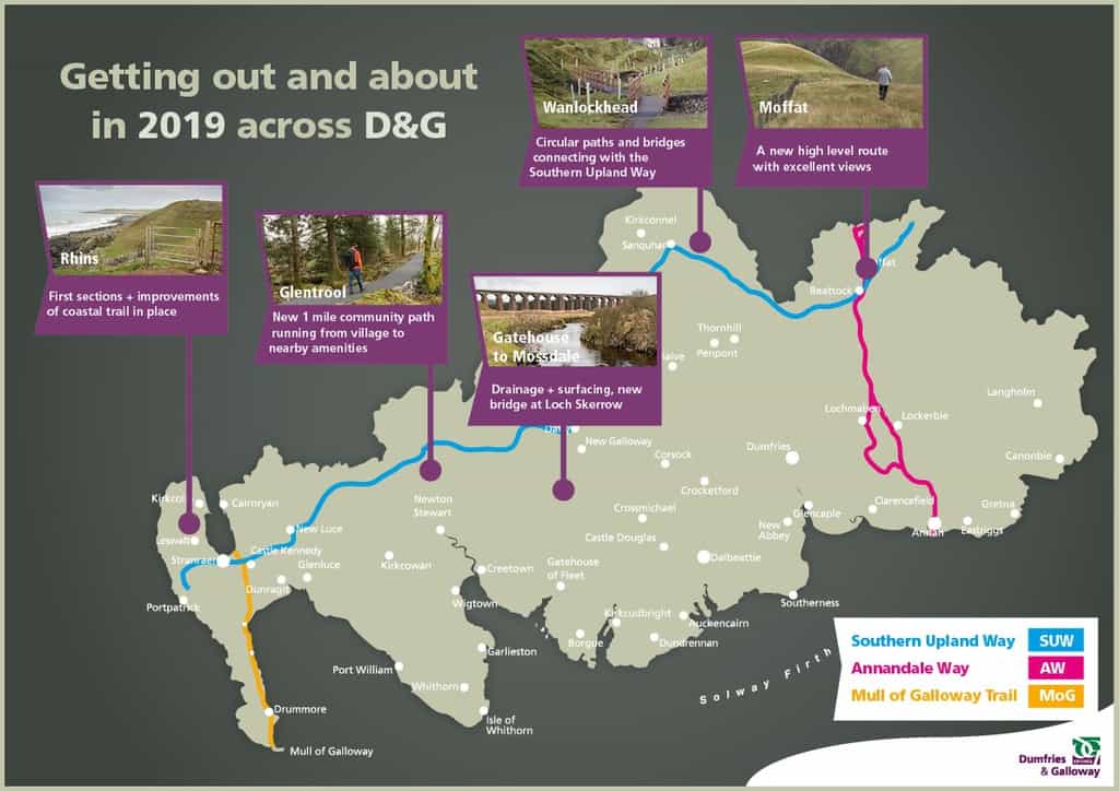
Recently work has been taking place to improve access opportunities, often using funds secured from external sources. 2019 sees the launch of a number of improvements or access opportunities of note, including:
- Gatehouse Station to Mossdale: A brilliant 8-mile moorland route running along the old railway through the heart of the Dark Sky Park, the Galloway & Southern Ayrshire UNESCO Biosphere and the Galloway Forest Park giving off road access to the Cairnsmore of Fleet nature reserve. Improvements made to drainage and surfacing along the route, with a new bridge at Loch Skerrow, provides non-vehicular access through some of the most remote landscape in the region. This route was the inspiration for John Buchan’s ‘39 steps’ and offers the possibility of seeing Golden Eagles! Improvements to this route were funded through the Scottish Natural Heritage administered ‘Improving Public Access’ fund and were undertaken by Dumfries & Galloway Council’s Environment Team in partnership with the Galloway Glens Landscape Partnership.
- Glentrool Community Path: A project developed in partnership between the Dumfries & Galloway Council’s Environment Team, Glentrool & Bargrennan Community Trust and the Forestry Commission. A one-mile path that runs from Glentrool to local amenities, preventing the need to walk along the road. Funding provided by the Improving Public Access fund, D&G Council and Kilgallioch Windfarm.
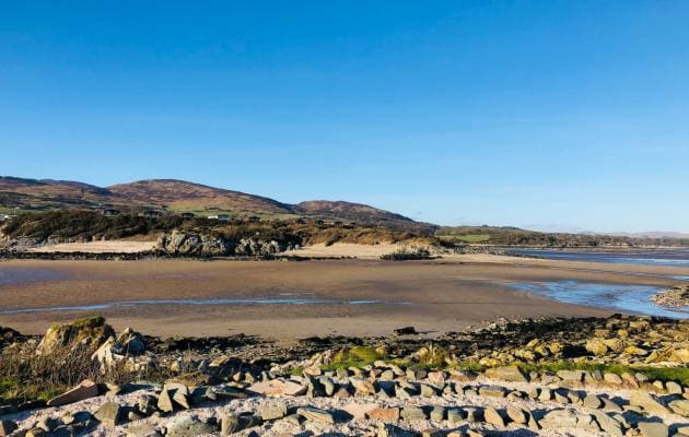
- Rhins of Galloway Coastal Path: This will be an 83-mile circular route that can be started and finished in Stranraer and takes in some of what is arguably the best but least well-known parts of Scotland. The full project, with associated interpretation and community engagement works will be undertaken over the next three years. The first stages of the path improvements are now in place, including the stretch on the North West of the peninsula, south of Corsewall point lighthouse. As the larger project gets underway, users will notice improvements to the coastal path taking shape. Funding has been secured from the Coastal Communities Fund, the National Lottery Heritage Fund and the Improving Public Access scheme and the project has been developed and is being delivered by Dumfries & Galloway Council’s Environment Team.
- Wanlockhead: Dumfries & Galloway Council’s Environment Team have been working over recent years to provide a network of circular paths, walks and bridges in Scotland’s Highest village. Series of core paths around Wanlockhead a series of bridges. These are popular with residents and also giving visitors access to the fascinating local history of the area. Funding was provided from D&G Council core path budget
- Moffat High Path: This route, created over recent years but now formalised with signage and waymarkers provides users with a much better view and experience. The website has been updated as well to embed this new route.
The region is lucky to host three of Scotland’ Great Trails, with recent developments as follows:
- Southern Upland Way: 214 miles running from Portpatrick to Cockburnspath in the Scottish Borders. This has now been in place for more than 20 years, with use increasing recently. Revised and updated Guide book recently published by Cicerone. Single Ordnance Survey Map now available to cover the whole route. Ongoing maintenance and management activities to maintain and improve access. Southern Upland Way website: southernuplandway.gov.uk.
- Annandale Way: Dedicated website: https://annandaleway.org/ First guide book published recently.
- Mull of Galloway Trail: Dedicated website: mullofgallowaytrail.co.uk This will form a leg of the Rhins of Galloway Coast path.
Dumfries & Galloway Council’s Environment Team has responsibility for the maintenance of the core path network (https://dumgal.gov.uk/article/15303/Outdoor-access-and-paths) and has been taking a lead on recent improvements. Bryan Scott, Countryside Development Officer, said:
“Running more than 1900km in length, Dumfries & Galloway has one of the largest networks of core paths in Scotland. If you are planning a trip out, a map of our core paths is available through the dumgal.gov.uk website. As well as maintaining existing access, we have been working hard to secure funding from a variety of external sources and it is great to see a number of these projects now complete in time for the 2019 summer season.”
The Dumfries & Galloway Local Access Trust (www.dgoutdooraccess.org.uk) aims to encourage and support responsible access to the amazing natural environment in the region. Chair of the Trust, Peter Ross, said:
“Legislation in Scotland is some of the most supportive of responsible outdoor access anywhere in the world, and we all know Dumfries & Galloway offers a whole range of habitats and environments for an access taker to enjoy. Getting outdoors brings multiple benefits, including Health & Wellbeing advantages, and is an important economic driver for the region. We look forward to seeing these new routes form part of the amazing outdoor offer to visitors and residents.”
The Out & About section in Dumfries & Galloway is headlined by Gretna Green
A Place to Escape From it All – Scotland’s most romantic destination since 1754
Discover Gretna Green