After a brief respite another spell of potentially disruptive weather is on the way for parts of the UK.
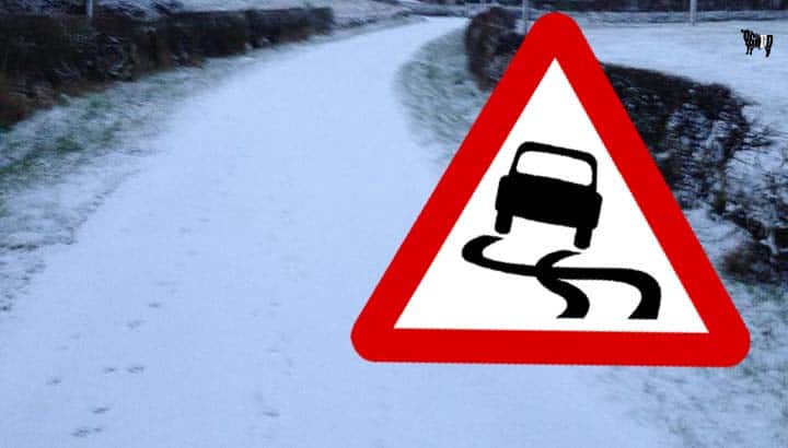
Several National Severe Weather warnings have been issued. A Yellow warning for snow is in place today, valid until midnight tonight, covering parts of southern Scotland and northern and central England. A spell of hill snow could lead to accumulations for some of 2-5cm above 200m while 5-10cm could gather above 400 m in a few places.
Met Office Chief Meteorologist, Neil Armstrong, said: “Late on Wednesday a weather front moves north eastwards across the UK bringing rain which turns to snow as it pushes further north and meets with colder air.”
“Although a Yellow warning for rain has been issued for Thursday rainfall amounts will generally be lower than last week, with many areas seeing 20-30mm. However, 50-70mm is once again possible in isolated spots across parts of the western Pennines, Greater Manchester, and North Wales, and rivers are still high in this area meaning further impacts could be possible.”
Neil Davies, Flood Duty Manager at the Environment Agency, said: “Despite the treacherous conditions, we protected more than 49,000 homes and businesses across England from flooding during Storm Christoph, but with river catchments now extremely wet and sensitive to further rainfall on saturated ground, we have to remain vigilant to further flooding this winter.
“Our teams are out on the ground checking defences and clearing grilles and screens to make sure we are prepared for the next band of wet weather.”
Check your local flood risk and sign up for free flood warnings in England via Gov.uk or follow @EnvAgency on Twitter, in Wales via National Resources Wales and in Scotland via SEPA.
A Yellow warning for snow is also in place for parts of northern England and southern Scotland where significant snowfall could lead to disruption. Snow is expected to fall quite widely within the warning area with several centimetres accumulating in places. However, there is the potential to see significant accumulations over higher ground with as much as 15-30cm over hills above 200m, which may lead to transport disruption.
It will turn drier, but colder, for the coming weekend, with sunshine for many after icy starts on both Saturday and Sunday, before we see a return to more wet, unsettled weather for early next week.
Keep up to date with the latest weather warnings and the forecast for your area using our warning and forecast pages on our website. You can also follow us on Twitter and Facebook, as well as using our mobile app which is available for iPhone from the App store and for Android from the Google Play store.
One partner. No competitors. Full visibility across the region.


