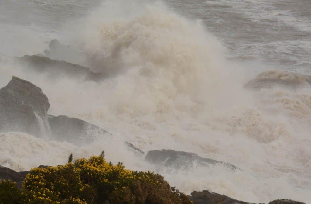
Several severe spells of weather with Storms Ciara and Dennis have wreaked havoc across the UK.
The forecast for the next few days remains unsettled, although less severe, with the potential for gales, heavy rain and hill snow.
Steve Willington is a chief forecaster at the Met Office. He said: “Storm Dennis has long gone, but the legacy of high water levels and saturated catchments remain. Although the forecast for the next few days indicates that conditions won’t be as severe, any additional rainfall could create further challenges as river catchments are more likely to respond to extra rainfall more quickly. Flooding, especially in areas already heavily affected, remains a possibility.”
“If you’ve been affected you can find advice on what you need to do by visiting our website or calling Floodline on 0345 988 1188. You can also visit our website for the latest flood warnings, updated every 15 minutes.”
Yellow National Severe Weather warnings are in force in the UK for the next few days and these warnings cover areas already heavily impacted by recent intense rainfall. Yellow rain warnings are in force until Thursday for Dumfries and Galloway.
Steve Willington added: “Some of the rain, especially in the warning areas, could be quite heavy, with showers of hail and thunder possible between. In northern areas of Britain hill snow remains a threat.”
With the ground already saturated there is a chance of further flooding, members of the public should check their flood risk and stay up to date with flood warnings from Natural Resources Wales, SEPA, NI Direct and the Environment Agency.
Although the outlook for this week stays unsettled, with severe weather warnings in place, a named storm is not expected.
You can get the most accurate and up to date forecast for your area using our forecast pages and by following us on Twitter and Facebook, as well as using our mobile app which is available for iPhone from the App store and for Android from the Google Play store.
One partner. No competitors. Full visibility across the region.


