The Met Office has continued its Amber weather warning for more snow across Dumfries and Galloway and the Borders between 9:00pm Wed 17th and 5:00am Thu 18th. With council and emergency services working flat out all through the night to keep the regions roads open, there has been traffic chaos in eastern parts of the region. Also over 25 local schools have closed due to snow and Ice.
The Met Office state – A spell of persistent and heavy snow is expected on Wednesday night, clearing eastwards by dawn on Thursday morning. Travel delays are likely on roads with a risk that some vehicles and passengers could become stranded. Delays or cancellations are likely to rail and air travel. Some rural communities are likely to become cut off and power cuts are probable. Other services, such as mobile phone, may be affected.
Chief Forecaster’s assessment
A deepening area of low pressure is expected to track east across the UK during Wednesday night and early Thursday. A spell of persistent and heavy snow is expected to develop. 3-8 cm of fresh snow is likely to accumulate widely with up to 20 cm over high ground.
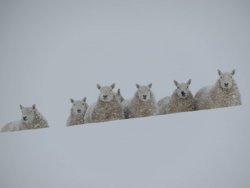
The wintery spell is affecting farms in the region badly too, Borders farmer Lorraine Luescher fromt Megdale, Westerkirk, in the hills between Langholm and Eskdalemuir reports:
“It was a complete white-out yesterday, 12 inches of snow, and there has been further snowfall overnight and more forecast. We managed to get to some ewes but it has drifted very deep in places and there are likely to be casualties further out on the hill.
“The hill livestock sector is vulnerable, and weather events like this simply underline how precarious the future of hill farming is”
For Weather Updates Click HERE and Traffic and Road safety Updates Click HERE
One partner. No competitors. Full visibility across the region.