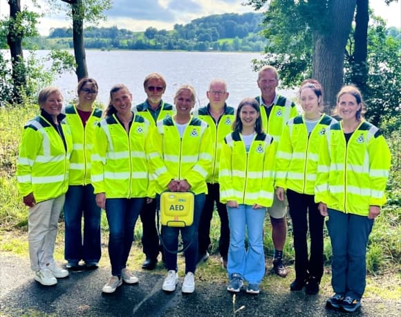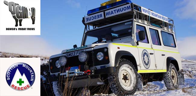
 Each year the Moffat Mountan Rescue Team hold the event usually in the hills around Moffat but occasionally move to other hill ranges in the area we operate in.
This years challenge takes place on Sunday the 8th of June 2014
We ask participants to pay a small entry fee (£6.00/£15.00 for a family) & raise at least a small amount for the team & or any other charity should they wish. This year we have 4 walks ranging from a family friendly walk, along tarred roads in Moffat & part of the Southern Upland way & is around 4kms long.
Our walk 2 is on forest tracks mostly but with a short section on open hillside, this is around 8kms long with a little height gained, this aimed for novice walkers. Walk 3 is again slightly more strenuous with more open hillside & more height climbed & is for the more competent walker, this walk is around 12kms long. Walk 4 again goes up bit more in height gained & distance travelled. This walk has a number of hilltops to climb & is around 16kms long with the high point being Ettrick Pen 692m high.
Walk 1 is led by team members, walks 2, 3 & 4 are marked & manned by team members.
| Entries Open: | Friday 9th May 2014 at 00:00 | ||||||
| Entries Close: | Friday 6th June 2014 at 23:59 | ||||||
| Walks: | Walk 1: 4Km; Walk 2: 8Km; Walk 3: 12Km; Walk 4: 16Km | ||||||
| Entry Fees: | All charges for this event will be made in Pounds Sterling | ||||||
|
Enter online at https://www.sientries.co.uk/event.php?event_id=1485


The Maps covering this area are OS Landranger 78 & 79
BBQ and refreshments at the Moffat Mountain Rescue Base
For All Walks Please Register at Moffat Mountain Rescue Base
Walk 1: Is a guided family walk, suitable for young families, heading down Old Carlisle road, joining the Southern Upland Way at Drumcrief continuing on a short wooded path, before crossing a couple of fields. Before being collected at Craigbeck bridge and returned to the Mountain Rescue Base.
An alternative route for buggies will be shown.
Start time – 11 am: Distance – Approx 4 km
Walk 2: Following registration, walkers are transported to Selcoth, where you will follow the forest track up the hill towards Sailfoot, from here leave the forest, and follow the ridge back down to Selcoth.
Start time – 10.15: Distance – Approx 8 km
Walk 3: Following registration walkers are transported down to the start point at Craigbeck Bridge to follow the Southern Upland Way through a number of fields before entering the forest. At this point choose to follow forest track or take route marked through a short windblown/newly planted section of forest. Both routes join again and continue along the Southern Upland Way high route to Croft Head
637m. Following the ridge before descending down to Craigmichen Scar, crossing a narrow exposed section following the Selcoth burn before return to the Car park at Selcoth.
Start Time – 9.30 am: Distance – Approx 12 km
This route is challenging in places and for more accomplished walkers
Walk 4: Following registration, walkers will be transported to Selcoth, from there follow the Selcoth burn, passing through Craigmichen Scar, a narrow exposed section of path, before joining the Southern upland way up to Ettrick Head. Follow the county boundary fence up to Wind Fell 665m, Hopeton Craig
632m and then onto the highest point Ettrick Pen 692m. Before descending to Over Phawhope, and following the Southern Upland Way back to Ettrick Head, for the final ascent to Capel Fell 678m before descending the ridge back to Selcoth.
Start Time – 9am: Distance: Approx 16km
This route is challenging with numerous ascents
All enquiries regarding entries to Ian Turner / Garry Tait
Email: [email protected]
or print off the Entry form bellow

One partner. No competitors. Full visibility across the region.