The Met office have upgraded their weather Waring for Dumfries and Galloway to Amber, starting from 15:00 Tue 16th until 08:00 Wed 17th January 2018
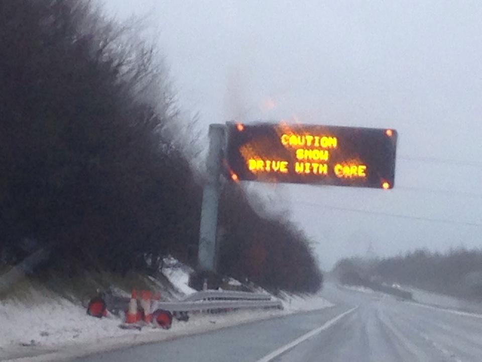
The Met Office states – Heavy, squally showers of snow will continue through Tuesday and Tuesday night, with longer spells of snow for a time, especially on Tuesday evening. Over the hills, snow will drift in the strong to gale force winds. A gradual improvement is likely on Wednesday for most areas. Travel delays on roads are likely, as are public transport cancellations, and some vehicles may become stranded, more especially on higher routes. There is a chance of power cuts, while services such as mobile phone coverage may be affected. Some rural communities seem likely to become cut off. In addition roads and pavements will turn icy, increasing the chances of accidents or injuries.
Chief Forecaster’s assessment
Snow showers will be heavy and frequent through the rest of Tuesday, gradually easing off during the early hours of Wednesday, with a further slow improvement expected through Wednesday daytime, as showers become less heavy and less frequent. Some high ground is likely to see 15-25 cm building up, especially above 200-300 metres. At low levels throughout the warning area, 5-10 cm will be more typical. Showers will be accompanied by hail and lightning at times, while strong winds bring the potential for temporary blizzard conditions and drifting of lying snow, mainly over high ground.
More info HERE
One partner. No competitors. Full visibility across the region.