With All of the region under a Yellow warning of Snow and Ice from the Met Office this weekend, they have also issued an upgraded Amber warning for more snow and ice to hit higher parts of Dumfries and Galloway again today between 07:00am and 10:00pm Fri 19th.
Snow showers will become heavier and more frequent early on Friday and will continue on and off through the day. One or two spells of more persistent, heavy snow seem quite likely, although amounts will vary from place to place. A gradual improvement seems likely during the late evening. Travel delays on roads are likely, as are public transport cancellations. In some places vehicles may become stranded. There is a chance of power cuts, while services such as mobile phone coverage may be affected. Some rural communities may be cut off.
Chief Forecaster’s assessment
A further 10-15 cm is likely to build up above 150 m with 20-30 cm possible over the highest routes – although (as is the nature with showers) some areas will see less. At low levels, 2-6 cm, perhaps locally 10 cm, would be more likely. Showers may well be accompanied by hail and lightning at times, increasing the potential for disruption to power supplies. Winds will strengthen at times, bringing the potential for temporary blizzard conditions and drifting over hills.
Find the full weather warning information by Clicking HERE
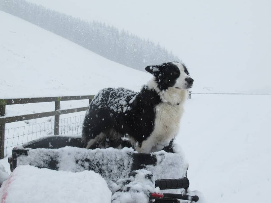
Image copyright Lorraine Luescher. Lorraine farms at Megdale, Westerkirk, in the hills between Langholm and Eskdalemuir.
One partner. No competitors. Full visibility across the region.