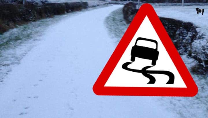
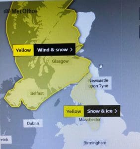
The Met Office have issued a warning that heavy snow and strong winds will combine to lead to disruption to travel, especially over higher routes across Dumfries and Galloway from Monday through out the week until wednesday.
The cMet Office State “Frequent and heavy snow showers will affect the region throughout Monday and Tuesday. Snow showers will occur especially over high ground, giving slight accumulations of 1 to 3 cm above 150 metres and 5-10 cm above 300 metres. Snow will gradually build up and in a few locations, accumulations of over 20 cm are possible by Tuesday evening over the highest routes in Scotland. The height of the snow level will vary throughout the period, but it is likely that any snow accumulations at low levels will only be temporary. Strong winds, gusting 50-60 mph, will lead to blizzard conditions at times and considerable drifting of lying snow over high ground. Icy surfaces are likely to occur, more especially on Monday night into Tuesday morning. Frequent lightning strikes are also possible, perhaps leading to interruptions to power supplies.”
 What to expect
 What to expect
- Some roads and railways likely to be affected with longer journey times by road, bus and train services
- Some injuries from slips and falls on icy surfaces
- Probably some icy patches on some untreated roads, pavements and cycle paths
For Full Details From The Met Office UK Click Here
One partner. No competitors. Full visibility across the region.


