Traffic & Weather News
Headline Partner
Available
One exclusive partner across 600+ articles in this section.
Find out more
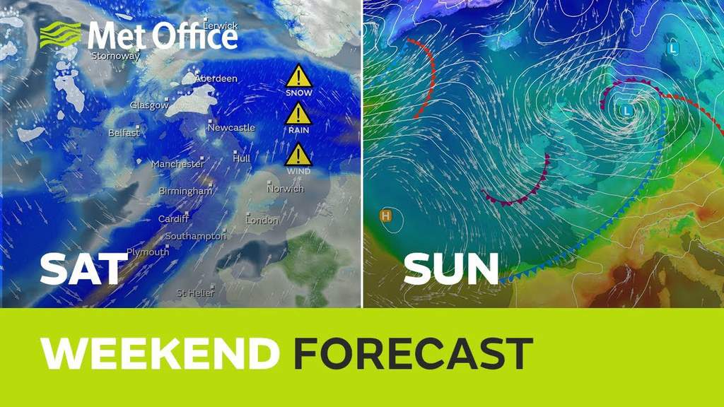
A SNOW warning has been issued by the Met Office for this coming weekend, just days after Storm Gareth battered coastal areas of the region. The Yellow ( Be Aware) warning is threatening a small chance of significant travel delays on roads with some stranded vehicles and passengers, along with delayed or cancelled rail and air travel.
The Met office forcast stated “A developing area of low pressure is expected to track across Northern Ireland, northern England and southern Scotland on Saturday. As this runs into colder air, snow is likely to develop, particularly in any heavier bursts of precipitation.
The largest snowfall amounts will be confined to higher ground, with the potential for 10-20 cm of snow above 350 m. Between 100 m and 350 m elevation, a mixture of rain, sleet and snow is more likely, but there is potential for accumulations of 2-5 cm, and a small chance of 10 cm should the precipitation be heavy enough to maintain snow for a longer duration. With warm air close by to the south, it may be that places in the south of this warning area end up with mainly rain.”
For advice on how to be prepared click HERE
For more info from the Met Office click HERE
Become the Headline Partner for Traffic & Weather News
Be featured across every Traffic and Weather (plus Tide Time page) article on DGWGO.
One partner. No competitors. Full visibility across the region.
Find out more
One partner. No competitors. Full visibility across the region.


