Traffic & Weather News
Headline Partner
Available
One exclusive partner across 600+ articles in this section.
Find out more
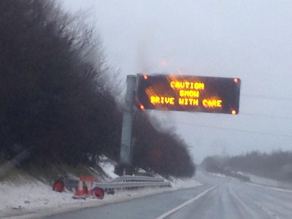
A spell of sleet and snow is expected on Wednesday morning, mostly on high ground. 2-5 cm snow may accumulate above 200 metres, whilst 5-10 cm is possible above 400 metres in a few places. This may lead to tricky driving conditions and some disruption on higher routes. Any snow at lower levels looks less likely to settle on roads. Sleet and snow will mostly die out by late morning with a thaw then likely.
What to expect
- Some roads and railways likely to be affected with longer journey times by road, bus and train services
Check https://www.metoffice.gov.uk for full details
Become the Headline Partner for Traffic & Weather News
Be featured across every Traffic and Weather (plus Tide Time page) article on DGWGO.
One partner. No competitors. Full visibility across the region.
Find out more
One partner. No competitors. Full visibility across the region.


