Storm Agnes has been named by the Met Office as the deep area of low-pressure that will impact much of the UK on Wednesday and into Thursday.
Storm Agnes will move into western areas of the UK and Ireland on Wednesday, with the strongest winds most likely on Irish Sea coasts, though it will be a widely windy day across the UK.
Met Office Chief Meteorologist Matthew Lehnert said: “Storm Agnes will approach southwest Ireland early on Wednesday and track northeast across Northern Ireland and Scotland before clearing on Thursday morning. Gusts of 45-55 mph are expected widely inland and 50-60 mph over hills and around coasts.
“The strongest winds are expected to affect Northern Ireland, southwest Scotland, west and northwest Wales, Cumbria and Lancashire where some places inland may see gusts of 60 mph and 65-75 mph over hills and around coasts. These are most likely during the second half of Wednesday afternoon and through the evening.”
A Yellow Warning for wind has been issued for a large area of the UK, with a rain warning also issued for parts of Scotland. Warnings will continue to be reviewed in the coming days as the exact track and strength of Storm Agnes becomes clearer.
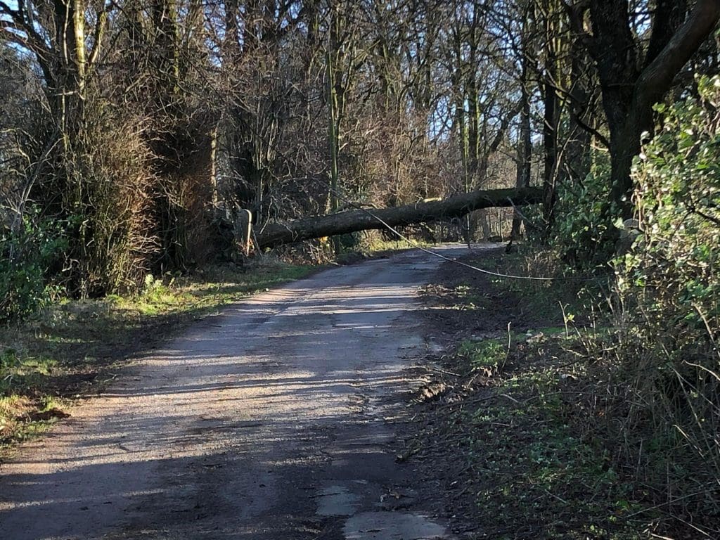
The wind warning highlights the chance of some damage to building from strong winds, as well as the possibility of power cuts for some. Transport disruption is also likely, with some roads and bridges likely to close.
Steve Basterfield, National Network Manager at National Highways, said: “With the stormy weather being forecast, it is important to plan ahead for your journey, and if weather conditions become challenging, adjust your driving behaviour and take extra care.
“We have a section of our website dedicated to travelling amid storms, high winds and gales, and considerations for different types of vehicle, as part of our guide to travelling in severe weather. It’s also a good idea for people to check their vehicles, such as tyres, coolant and oil levels, before heading out to reduce the risk of breakdowns.”
Storm Agnes is the first named storm of the storm naming season, which runs from September to August the following year.
Rain impacts in Scotland
David Morgan, Flood Duty Manager for the Scottish Environment Protection Agency (SEPA), said: “Storm Agnes, the first named storm of the year, will move across Scotland tomorrow, bringing strong winds and heavy rain in many parts of the country.
“Flooding impacts are possible, particularly in south west and central areas. Along the south west coast, we may see wave overtopping and flooding of causeways, promenades, properties and roads. Impacts are expected to be localised and around high tide. We may also see minor flooding impacts from surface water and rivers.
“Flood Alerts and Warnings are being issued as necessary and we continue to work with the Met Office to monitor the situation 24/7.
“People living and working in affected areas are advised to take care if travelling and consider any steps they need to take now to be prepared and to stay safe.
“We are also encouraging people to sign up to Floodline to receive free updates for where they live, or travel through, directly to their phone. People can also check our Flood Updates for all the latest information and the three-day Scottish Flood Forecast to see what conditions are expected further ahead.”
Further ahead
Storm Agnes’s influence on UK weather is expected to diminish later on Thursday as it weakens and moves further north. Following that system, rain will move into southern areas late on Thursday and into Friday, with some heavy bursts possible for some areas of England and Wales.
However, as we move towards the weekend, a ridge of high pressure from the south is expected to bring a period of more settled weather, though some showers could continue in northern and western areas for a time.
You can check the latest forecast on our website, by following us on Twitter and Facebook, as well as on our mobile app which is available for iPhone from the App store and for Android from the Google Play store.
One partner. No competitors. Full visibility across the region.


