Dumfries & Galloway News
Headline Partner
Available
One exclusive partner across 8,000+ articles in this section.
Find out more
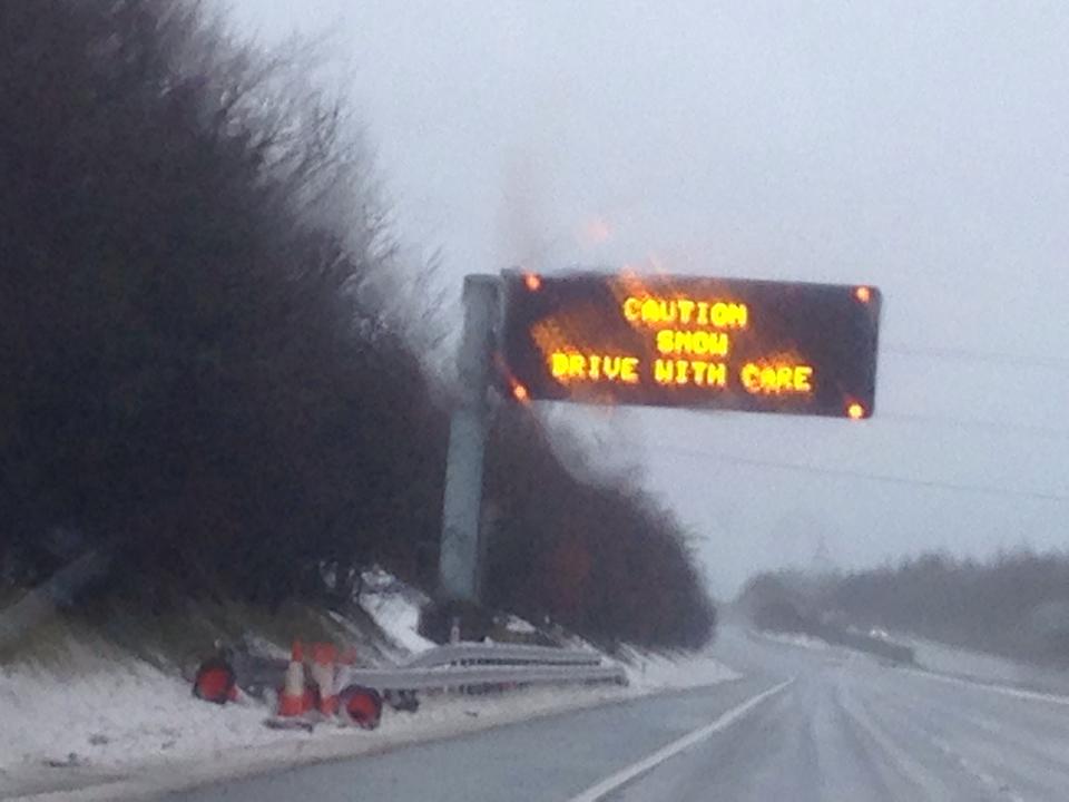
The Met Office has issued a new warning (Yellow) of more snow and ice to hit the region on Tuesday the 29th of January, the statement said the weather will start with rain then turning to snow, especially on hills, then turning icy, affecting the regions roads and pavements.
The Met office stated ” A band of rain will arrive across Wales, northern and western England and Southern and central Scotland,through the middle of Tuesday, then move eastwards through Tuesday afternoon and evening. The rain will turn quickly to snow on hills, then also to low levels in places. 3 to 5 cm snow is likely above 200 metres, with up to 10 cm in a few places. A patchy covering of 1 to 2 cm is possible at low levels, although some places will see no snow at all. As skies clear overnight, ice is likely to form on some surfaces. In addition, wintry showers will follow into western areas on Wednesday morning, giving further slight accumulations of snow in a few places.”
What to expect
- Some roads and railways likely to be affected with longer journey times by road, bus and train services
- Some injuries from slips and falls on icy surfaces
- Probably some ice on some untreated roads, pavements and cycle paths
For up to date details follow the Met Office webpage HERE
Become the Headline Partner for Dumfries & Galloway News
Be featured across every news article on DGWGO.
One partner. No competitors. Full visibility across the region.
Find out more
One partner. No competitors. Full visibility across the region.